
Research and Resources for a Healthier North Carolina Coast
Who we are
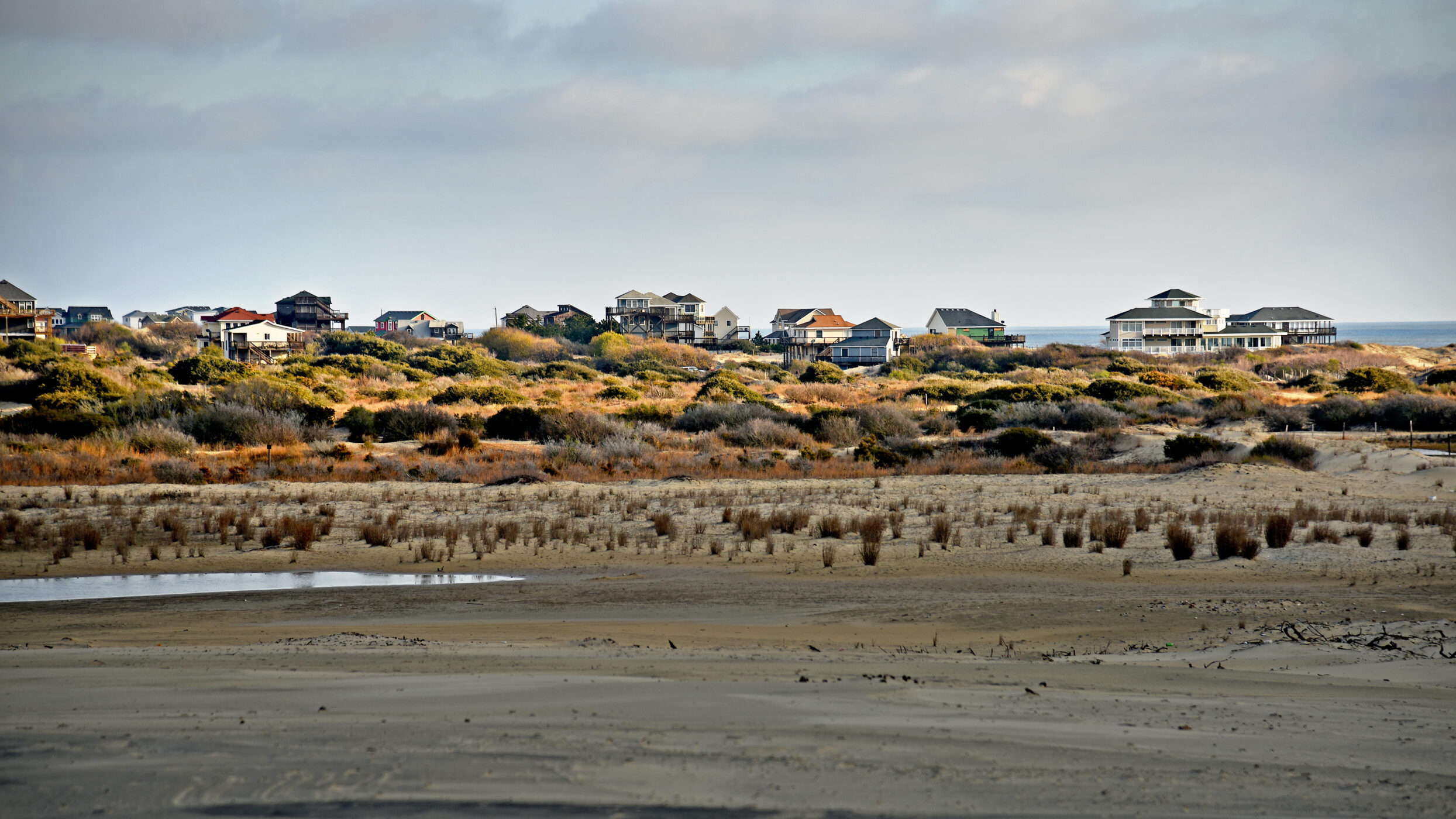
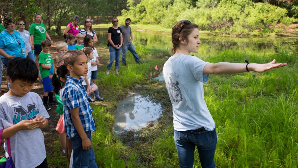
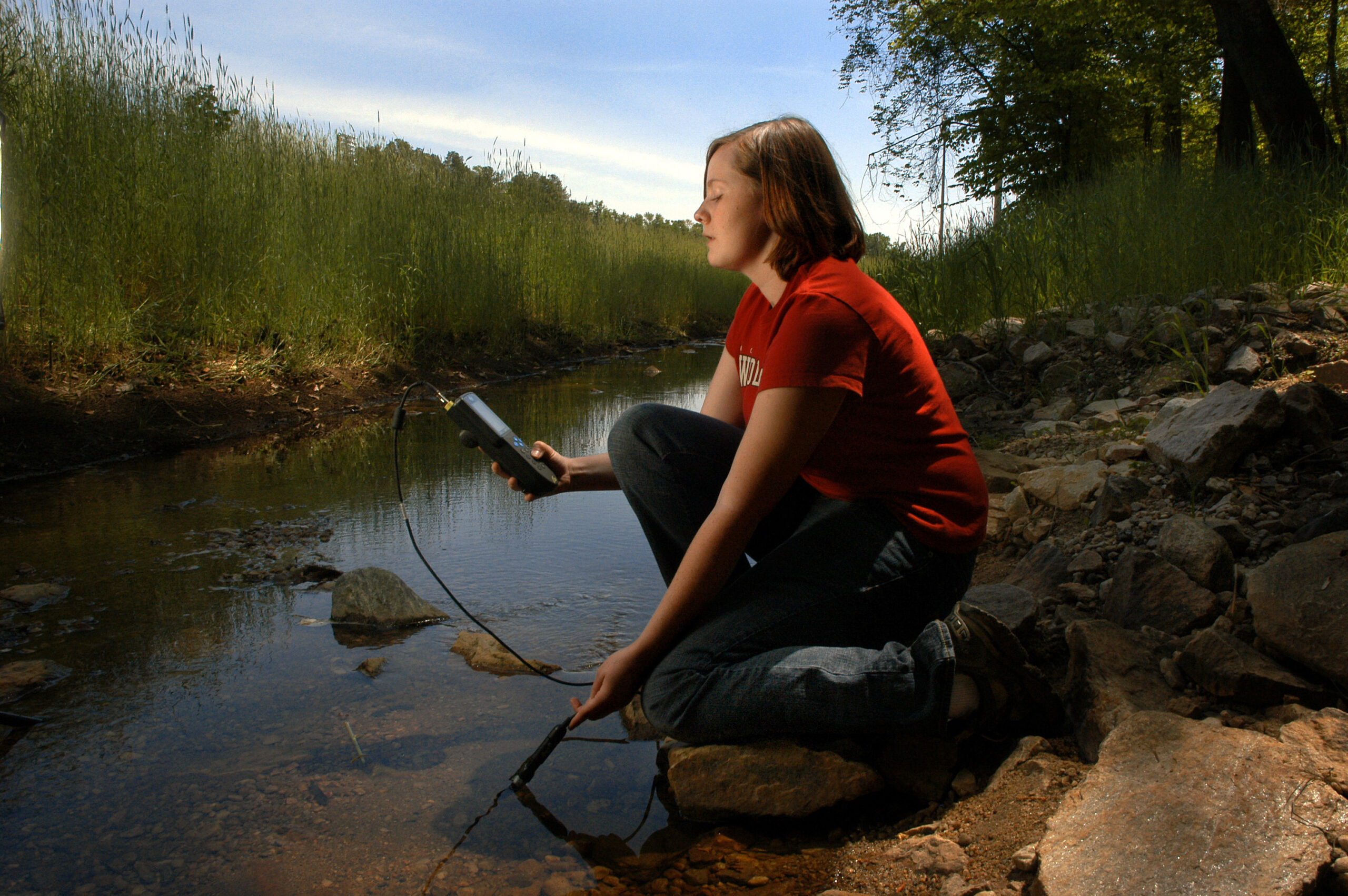
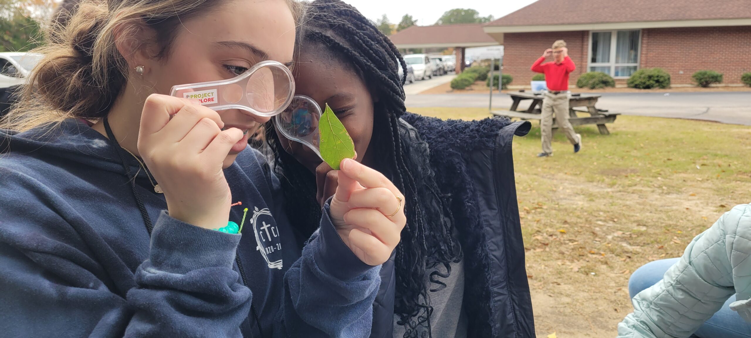
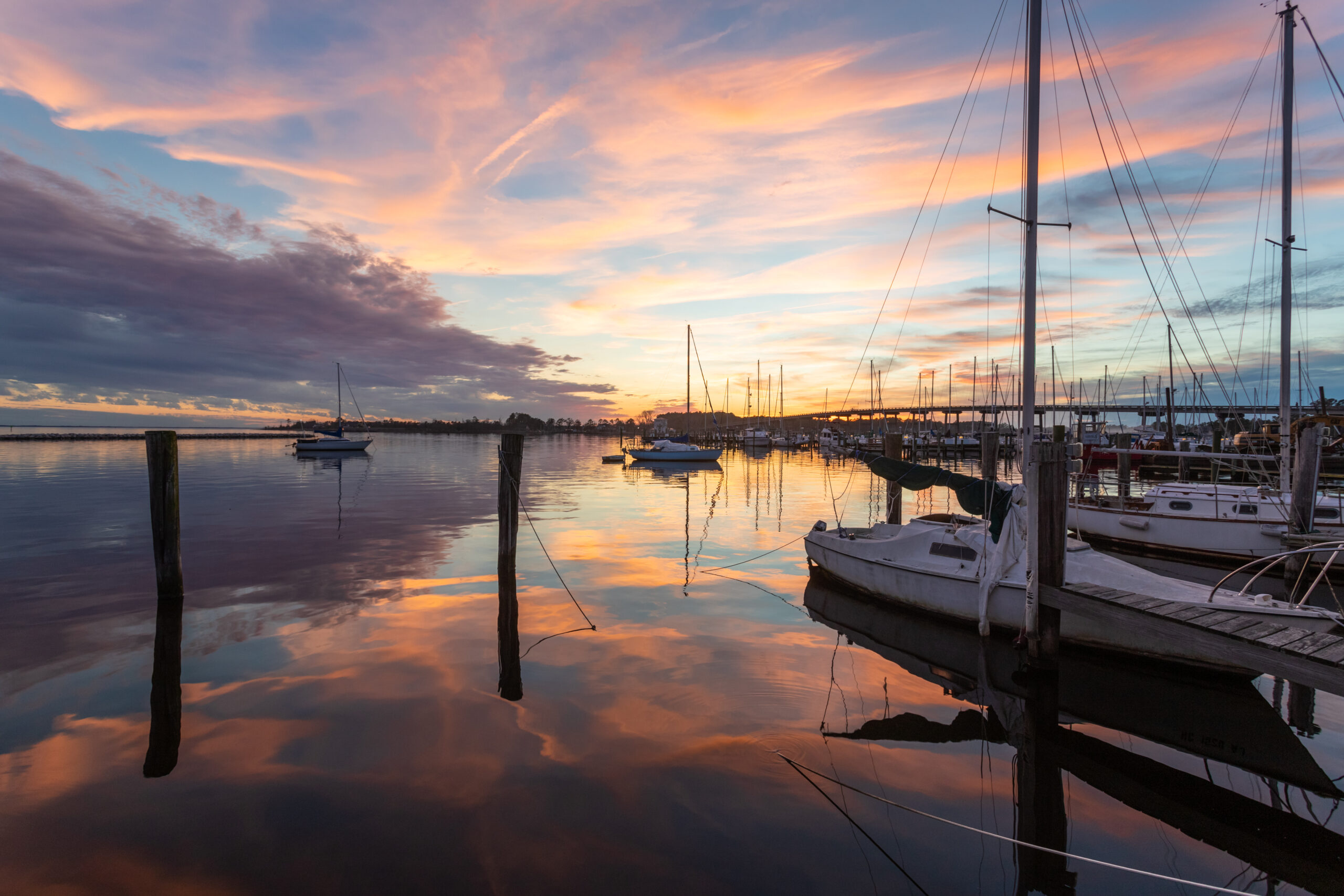
Since 1970, North Carolina Sea Grant has provided research, education, and outreach to serve our entire state. We build more resilient communities and economies, support sustainable fisheries and aquaculture, promote healthy coastal ecosystems, enhance environmental education, and foster workforce development.
By forging enduring collaborations that bridge North Carolina’s public and private universities with communities across the state, our program fuels real-world solutions.
$4 Million
in economic benefits to
North Carolina
84 Communities
partnering with us for sustainable and resilient economies and planning
2,526 Attendees
in 67 trainings for industry and community members in 2023


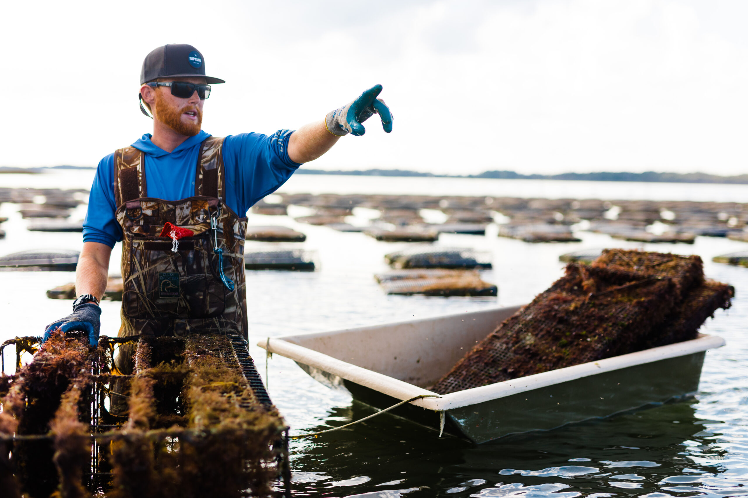
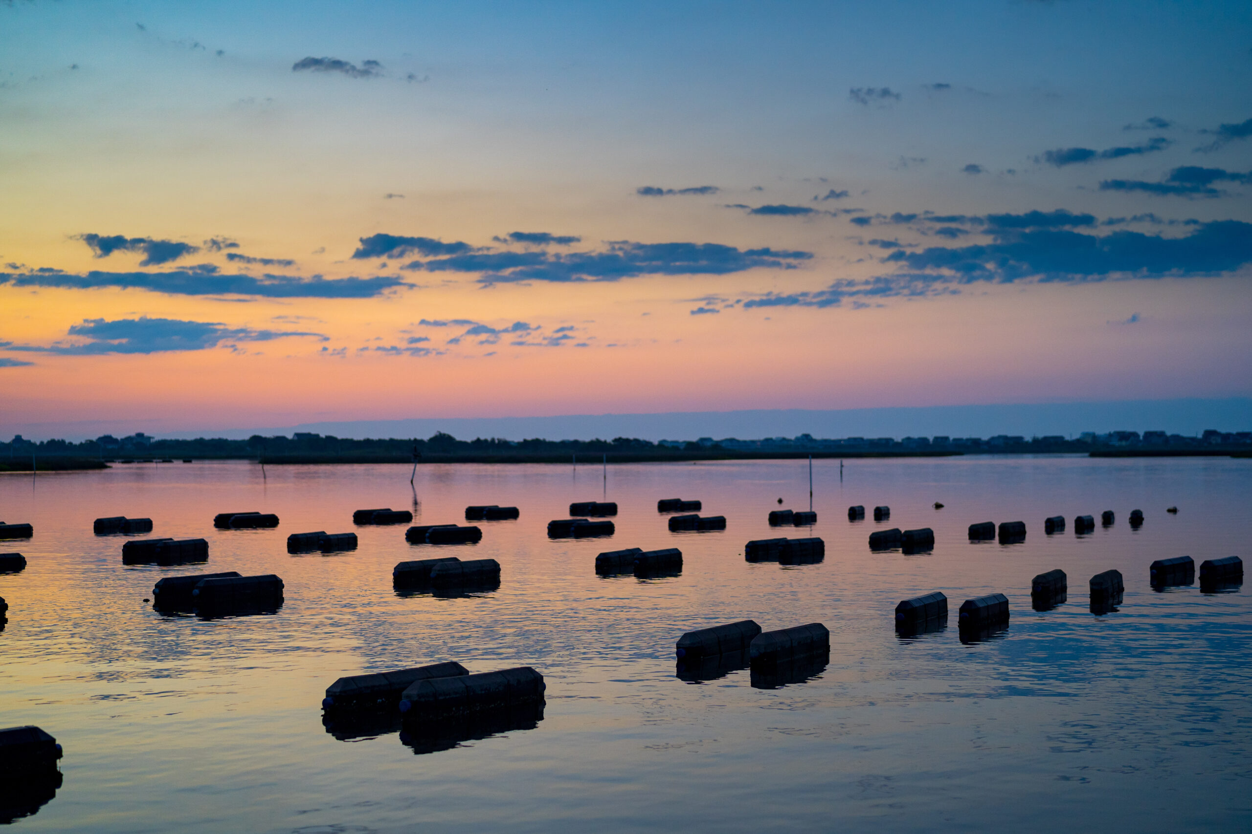
Strengthening the Blue Economy
Thousands of jobs and billions of dollars in revenue for North Carolina depend on sustainable ocean and coastal resources. North Carolina Sea Grant actively bolsters our blue economy through a vast array of projects and initiatives that support businesses and consumers alike.